
Trentino’s forests cover a surface area of 390,463 hectares, i.e. 63% of the entire province. This means that nature prevails throughout the territory, making the Autonomous Province of Trento the perfect laboratory for studying tree health and for analysing climate change. In this field, a leading role is played by the Research & Innovation Centre of the Edmund Mach Foundation (FEM), and in particular by its Forest Ecology Unit that is working with the Italian and European space agencies in two projects that envisage the use of satellites for monitoring plants and forests.
The use of satellites in forest ecology
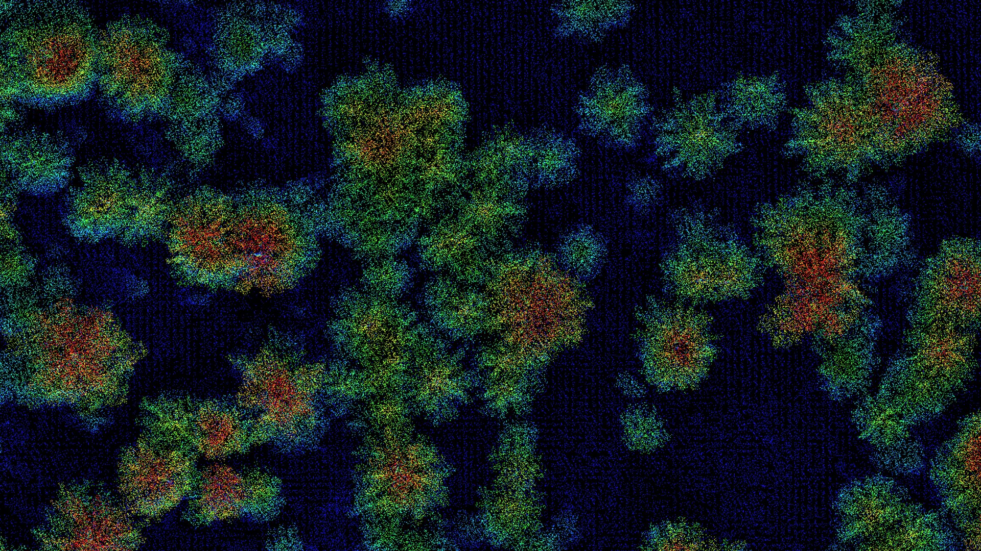
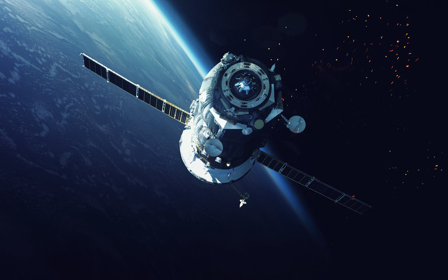
The health conditions of forests can also be monitored from space. There are, in fact, various types of satellites than can acquire images providing important information about the vegetation:
-
Spectral imaging: information on the health conditions of the plants and on how they grow and evolve. These images also allow to classify the plants, determine their content in chlorophyll and in other photosynthesizing pigments, and their hydration status;
-
LIDAR (Light Detection And Ranging) imaging: information on the structure of the forest and on how the plants perform within it;
-
SAR (Synthetic Aperture RADAR) imaging: information on the water content of forests.
Before being ready for use, the satellites need to be calibrated and validated, and these operations can be done only ‘from the ground’. The Edmund Mach Foundation has worked in two ASI and ESA projects precisely in order to provide the know-how and instrumentation required in this preliminary control phase.
Watch the Interview with Damiano Gianelle, FEM Forest Ecology Unit coordinator
(English subtitles available)
The PRISMA satellite
The first project FEM is involved in is coordinated by CNR (Italy’s National Research Council) and is linked to the Italian Space Agency (ASI) that put the PRISMA satellite into orbit at the end of 2019 and saw it become operational one year later. This hyperspectral satellite is capable of photographing the reflectance of an object across 256 different bands that range from the visible to the infrared and all the way to the far infrared. Thanks to the imagery it acquires, it is possible to observe various aspects of the vegetation, such as plant stress, their vitality and any indications of disease. Using this technology it is possible to study other factors too, such as the turbidity of water basins and the health conditions of glaciers.
The role of FEM
As mentioned above, once in orbit the satellite must pass the calibration and validation phases. Calibration is performed on desert images, while validation is performed on the various systems to be measured. In the PRISMA project, the Edmund Mach Foundation is in charge of forests, while other entities and universities are in charge of agricultural land and glaciers.
The various steps for validation:
-
The satellite acquires hyperspectral images of a slice of territory, such as a portion of forest, for example;
-
FEM researchers use a camera the same as or similar to the one used on the satellite and they take an identical photo from the ground;
-
The two photographs are compared to check that the algorithms used by the satellite are correct and that the reflectance measurements of the two photographs match;
-
Once the algorithm is validated, the satellite can proceed with the continuous acquisition of images that are placed at the disposal of entities and researcher across the world.
As regards the validation of the PRISMA satellite, in order to obtain the same images as those acquired from space and to gain an overhead view, FEM researchers installed the camera on the Monte di Mezzocorona cableway.
The FLEX satellite
The second project involving the Foundation, again coordinated by CNR, is directed by the European Space Agency (ESA) and regards the FLEX satellite. It will be put into orbit next year and will be capable of measuring florescence, namely plant photosynthesis. This will allow researchers to acquire immediate information about whether the plants are growing or whether they are in a state of stress.
FEM researchers currently are working at the camera’s validation using the same model of camera that will be installed on the satellite. This is no trivial detail, considering that in addition to the one being used by the Trentino research center there are only another two in the whole world.
How satellite data will help Trentino
The benefits for the Edmund Mach Foundation deriving from its participation in projects of this kind are many. First of all, FEM has the chance to have regular and frequent access to precious data that it would be impossible to obtain using standard techniques. This is a veritable added value for the study of the impact of climate change on forests that are being increasingly exposed to water and heat stress and to the destructive action of extreme weather events.
A recent example of this is the Vaia storm that in October 2018 flattened 40 thousand hectares of forest in the Trentino, Veneto and Lombardy regions and gave rise to an unprecedented spruce bark beetle epidemic. This insect hatches in dead plants and feeds off healthy plants, and this epidemic is creating serious problems in the forests of Trentino that were hit by the storm 4 years ago.
The florescence images coming from the satellites will play an important role in battling this infestation because they will allow to understand which plants are in a state of stress (as they photosynthesise less than healthy ones) before this becomes visible to the naked eye. In this way, researchers will be able to predict the damage caused by the bark beetle a few weeks before the actual onset of the symptoms in the plants.
Another example of the usefulness of satellite imaging is that related to forest fires. The opportunity to spot in time the areas of forest in which the plants are suffering from water shortage (which makes them more inflammable) is a very useful element in putting in place large-scale fire prevention actions.